Commercial Street
Commercial Street

Commercial Street runs across the back of the merchant's
warehouses and other buildings which have their frontages
on the Esplanade. Most of its old granite buildings
on both sides have been demolished in the last 50 years
and replaced with modern office blocks

Commercial Street was almost entirely undeveloped until the middle of the 19th century. The 1834 Le Gros map of St Helier shows the street, then known as New Wharf Street, with open land to the sea on the south, and open land at the back of Broad Street buildings on the land side.
This land was sand dunes and no building could take place until the sea wall and the Esplanade, which reached as far as Patriotic Street by 1935, had been extended to Castle Street, and further to West Park, starting in 1858.
The land behind the Broad Street properties was the first to be developed, and these buildings were given odd numbers. It was not until later in the century and into the 20th century that the Esplanade properties were developed by merchants, with further construction of the associated even-numbered Commercial Street properties at the rear.
Today the majority of the original buildings have gone, replaced by modern office blocks. Only five of the remaining old structures have been listed for their historic interest. Information about who traded there and lived in residential accommodation are very hard to find. Many of the buildings were not listed in almanac street directories or included in census returns, being seen as appendages of the Broad Street or Esplanade properties which they adjoined.

Listed property histories
| No 1 | No 10 | No 31 | No 32 | No 38 |
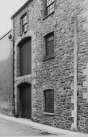
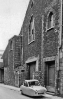
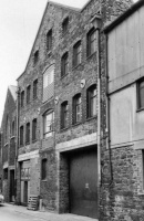
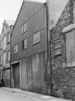
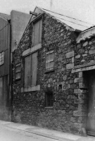
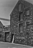
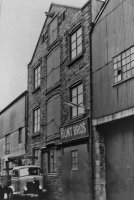
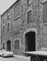
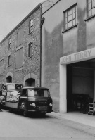
1968
These pictures showing Commercial Street buildings in 1968, most of them now demolished, were taken by planning officers using Polaroid cameras
-

-
-
-
-
-
-
-
-
-
-
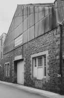 No 24
No 24 -
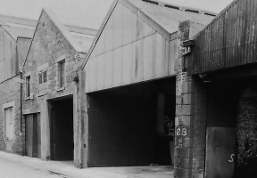 No 28
No 28 -
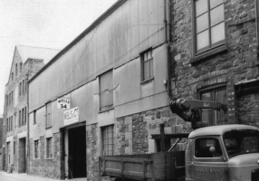 No 34
No 34


-
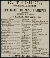 G Thorel specialised in French wines in 1880
 -
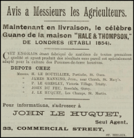 John Le Huquet sold guano at No 33 in 1990


